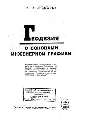
Geodesy with basics of engineering graphics
 Instant download
after payment (24/7)
 Wide range of formats
(for all gadgets)
 Full book
(including for Apple and Android)
SPb. Hydrometeoizdat, 1995. — 448s. Basic information about geodesy and its importance in hydrometeorological research is given ; work with topographic maps and plans ; types of geodetic measurements, their methodology and evaluation of the accuracy of the results ; Theory and construction of geodetic instruments ; questions of creation of geodetic substantiation and production of topographic surveys of the terrain in various ways; features of geodetic work during the survey of river basins, lakes and reservoirs; set out the rules of graphic design of drawings and topographic plans in accordance with GOST. The textbook is intended for students of hydrometeorological institutes and state universities in the specialty "Hydrology" and for engineering and technical workers performing topographic and geodesic work .
LF/581510060/R
Data sheet
- Name of the Author
- Федоров Ю.А.
- Language
- Russian


