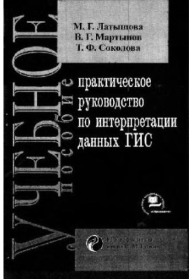
A practical guide to interpreting GIS data
 Instant download
after payment (24/7)
 Wide range of formats
(for all gadgets)
 Full book
(including for Apple and Android)
The book "Practical guide to the interpretation of GIS data" by Latyshova M. G. and its co-authors is an indispensable resource for all who are interested in geographic information systems (GIS) and their application in various fields. This publication will be a real find for both undergraduate and graduate students, as well as for practitioners working in the field of geography, ecology, urban studies and many other disciplines related to spatial data. The main purpose of the book is to provide readers with practical skills and methods of interpreting data obtained with the help of GIS. The authors consider in detail how to properly process, analyze and visualize spatial information in order to make it as useful as possible for decision-making. In the book you will find many examples, illustrations and practical tasks that will help to consolidate theoretical knowledge in practice. This makes the publication especially valuable for those who want not only to study the theory, but also to apply it in real projects. Who can like this guide? First of all, it will be useful for students of geographical, environmental and engineering specialties, as well as graduate students who are engaged in scientific research in the field of GIS . But not only them: specialists working in public and private organizations involved in territory planning, environmental protection, agriculture and other industries will also find in the book many useful recommendations and methods that will help them in their daily work. Even amateurs seeking to understand GIS and apply their knowledge in personal projects will appreciate the accessible and understandable style of presentation. The topics raised in the book cover a wide range of issues, including the basics of working with GIS, methods of spatial data analysis, visualization of results and interpretation of the received data. The authors emphasize the importance of critical thinking and analytical skills that are necessary for the correct interpretation of the data. This is especially true in today's world, where information is becoming more accessible, but not always easy to analyze. The book teaches readers not only to use GIS tools, but also to understand how to interpret the results so that they actually benefit. The style of Latyshov and his co-authors is clear and accessible, which allows readers to easily assimilate even the most complex concepts. They use many examples from real practice, which makes the material more clear and understandable. This is especially important in a complex field such as GIS, where theoretical knowledge often requires practical application for a complete understanding. If you are looking for books on the topic of GIS, then the “Practical Guide to Interpreting GIS Data” will be a great addition to your library. It can be compared with other well-known works in this field, such as “Geoinformation systems: principles and practices” or “Analysis of spatial data using GIS” .. These books will also help you deepen your knowledge and skills in geoinformation systems. In conclusion, the “Practical Guide to Interpreting GIS Data” is not just a textbook, but a full-fledged tool for those who want to master the art of working with spatial data. It inspires the study and application of GIS in a wide variety of fields, opening up new horizons for the analysis and interpretation of data. If you want to become an expert in this field or just improve your skills, this guide will be your reliable companion along the way.
LF/643648829/R
Data sheet
- Name of the Author
- Латышова М.Г.
и др. - Language
- Russian
- ISBN
- 9785836502997
- Release date
- 2007


