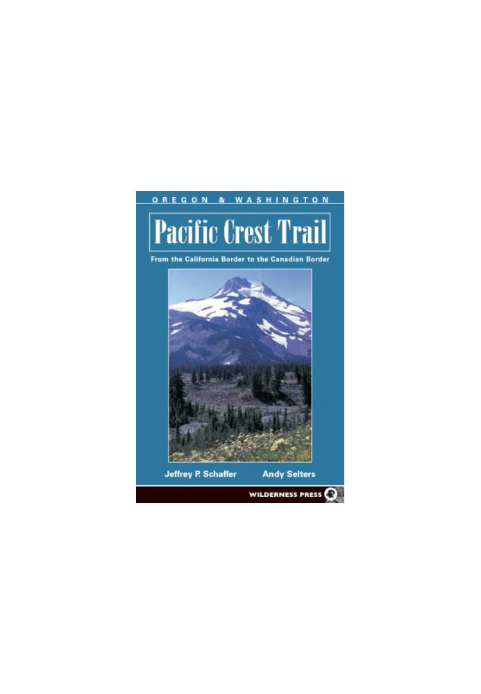
Pacific Crest Trail: Oregon and Washington
 Instant download
after payment (24/7)
 Wide range of formats
(for all gadgets)
 Full book
(including for Apple and Android)
The 2650-mile Pacific Crest Trail, adopted by Congress as a National Scenic Trail, passes through some of the most breathtaking scenery in the United States. Hiking along this ridge-crest route, you'll see Mt. Jacinto, Mt. Whitney, Lassen Peak, Mt. Shasta, Mt. Hood, Mt. Adams, Mt. Rainier and Glacier Peak. You'll traverse 24 national forests, 34 wilderness areas, 7 national parks, plus numerous other parks and recreational areas. Trail elevations range from near sea level at the Columbia River on the Oregon-Washington border, to 13,180 feet at Forester Pass in the High Sierra. Written by.;[CONTENTS]; Chapter 1: History of the PCT; Chapter 2: Planning Your PCT Hike; WHAT TO EXPECT; WEATHER; LOGISTICS FOR THE LONG DISTANCE BACKPACKER; HYPOTHERMIA; OUTDOOR COURTESY; LAND-USE REGULATIONS; BORDER CROSSING; GOVERNMENT ADMINISTRATIVE HEADQUARTERS; FORGOTTEN ANYTHING?; Chapter 3: PCT Natural History; INTRODUCTION; GEOLOGY; GEOLOGIC TIME SCALE; BIOLOGY; Chapter 4: Using This Guide; TWELVE HIKING CHAPTERS; PRE-HIKE INFORMATION; ROUTE DESCRIPTION; THE TOPOGRAPHIC MAPS; TEXT AND MAP CROSS-REFERENCES; FOLLOWING THE TRAIL; Oregon-Washington PCT Mileage Table; 12 Trail Chapters.
LF/268708/R
Data sheet
- Name of the Author
- Andrew
Jeffrey P.
Schaffer
Selters - Language
- English
- Series
- Pacific Crest Trail
- ISBN
- 9780899977416
- Release date
- 2012


